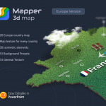
Mapper – 20 European Countries 3D Maps for PowerPoint


Description
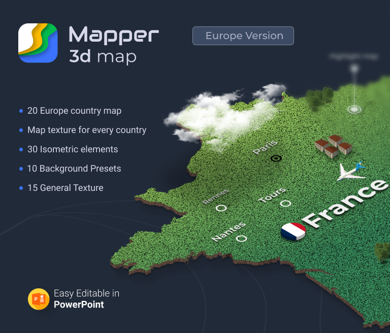
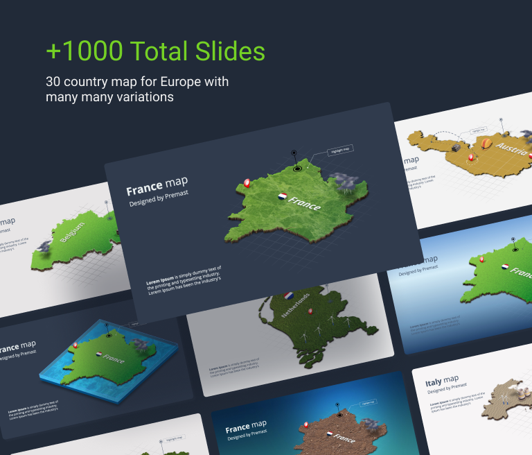
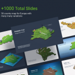
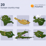
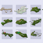
20 European Countries 3D Maps for PowerPoint ready for you to download. We created this map ppt template to support those who look for unique graphics for maps and templates to edit. Inside this template, you will find 3D designs illustrate the continent of Europe. Different countries and areas are available for you to get and edit to suit your needs. The thing with 3D designs is that they feel more alive and modern. You can utilize them for a presentation about geography or expanding your business plan. Our designs are professional enough to be used in a class, company, conferences, or any document about related subjects.
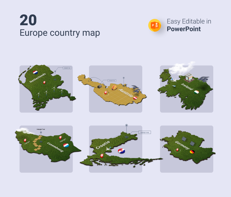
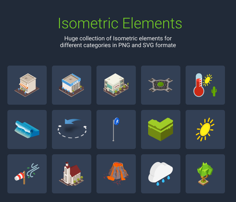
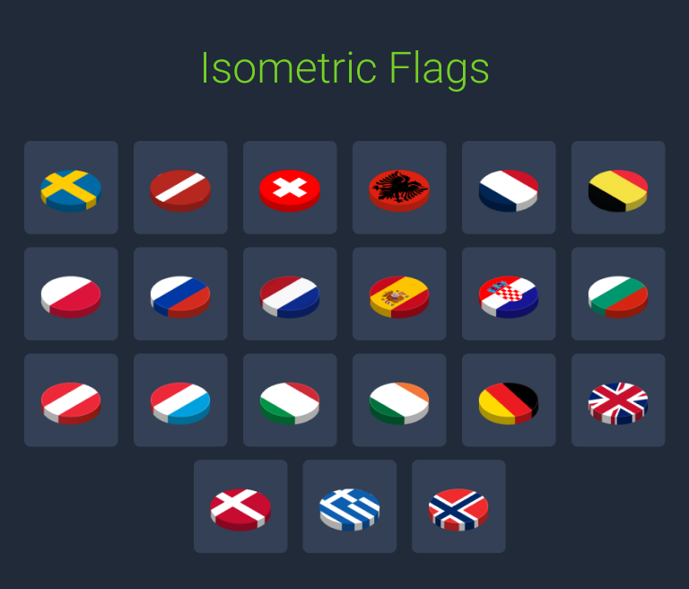
These 20 European Countries 3D Maps are fully editable and can be customized to fit any usage you need. Starting with changing color themes and fonts to fit your branding preferences. All icons, graphics are editable, you can adjust colors, sizes, and placements. Flags for each country are included and icons demonstrate travelling and mobilizing from place to another, Temperature, buildings, and nature.
Countries maps included:
- Europe Map
- Belgium map
- Bulgaria map
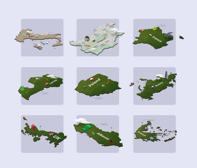
- France map
- Germany map
- Ireland map
- Italy map
- Netherlands map
- Norway map
- Poland map
- Russia map
- UK Map
- Latvia map
- Poland map
- Albania map
- Greece map
- Austria map
- Croatia map
- Luxembourg map
Features included:
- 20 Europe Countries
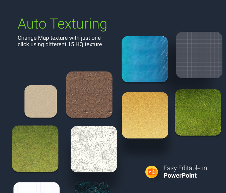
- Map texture for every country
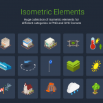
- 30 Isometric Items
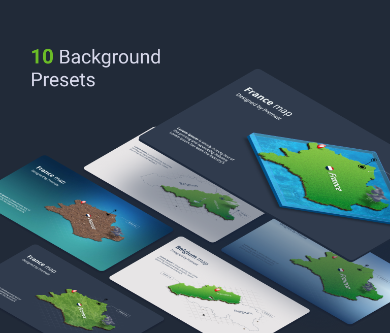
- 10 Backgrounds Presets
- 15 General Texture
Download this European countries 3d map presentation now and start your journey around Europe. Check out our other designs and enjoy a new presentation experience.
1 review
You must be logged in to post a review.
Premium

information
- Unique Slides: +20
- Animation: No
- Vector: Yes
- Icons: Yes
related Items

 0
0


More from the same author


Mapper – 20 European Countries 3D Maps for PowerPoint
Mapper (Europe Maps)
Samir Rashed
Thanks, Really awesome